InpangeobyRaphael HagenZarr pyramids at scale(by Raphael Hagen and Max Jones)Jul 15, 2024Jul 15, 2024
InTDS ArchivebyMaria Mouschoutzi, PhDFrom Data to Dashboard: Visualizing the Ancient Maritime Silk Road with Dash Leaflet and SeaRoute…Build an interactive map visualization displaying the shortest path between two points at sea within the Python Dash FrameworkMay 22, 20249May 22, 20249
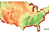
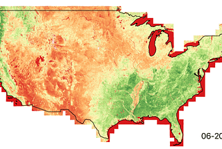
InIndigoAg.DigitalbyKeith MaMore and better satellite imagery through dynamic tilingPost by @keithfma and @ceholdenOct 19, 20201Oct 19, 20201
InDevelopment SeedbyVincent SaragoCOG Talk — Part 2: MosaicsThis blog is the second in a series called COG Talk, which looks at ways to use Cloud Optimized GeoTIFF, and why we use them.May 23, 20192May 23, 20192
LAWRENCE KIMUTAIBUILDING GEOSPATIAL WEB APPLICATIONS IN PYTHON VIA DJANGO FRAMEWORKDjango is a popular web framework written in Python that simplifies the development of web applications. You can check out django…Jun 22, 20231Jun 22, 20231
IngeobeyondbyKrishna G. LodhaGeoServer Docker Starter GuideThis blog is part one of Geoserver using docker seriesApr 15, 20231Apr 15, 20231
Stefano CudiniGeoPickerA super fast rest interface to pick Geospatial datasets in NodeJs.Jan 25, 2023Jan 25, 2023
InPython in Plain EnglishbyAblajan SulaimanCreating 3D WebMap for CesiumUsing Open-source Data and FMEJan 12, 2023Jan 12, 2023
IngeobeyondbyKrishna G. LodhaHow to get started with pygeoapiIn this blog, we’ll explore how to install pygeoapi using git and also using docker. We’ll also get basic understanding of config fileDec 5, 20221Dec 5, 20221
Amine boubekeurGIS using Geodjango and LeafletIn this paper we will create a simple GIS web application example using Django(GeoDjango), we will handle uploading and generating Geo…Sep 18, 20223Sep 18, 20223
InTDS ArchivebyAdithya KrishnanGeospatial app with Google Earth Engine and GreppoUsing Google Earth Engine without a lot of JavaScript experience is hard. Greppo lets you overcome this in Python.Mar 21, 20221Mar 21, 20221
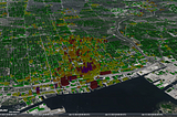
InTDS ArchivebyMaurício CordeiroOrganizing Geospatial data with Spatio Temporal Assets Catalogs — STAC using pythonIntroductionMar 12, 20221Mar 12, 20221
Anders InnovationsBuilding web map applications with OpenLayersBy Mingfeng YuMay 25, 2021May 25, 2021
InThe StartupbyAlexander VingardtGetting Started with OpenStreetMap and PostGISIf you love maps and databases, this article is for you.Jan 19, 20201Jan 19, 20201
InGeek CulturebyKrishna G. LodhaWeb GIS Development starter GuideThis blog shares the development paths in enterprise as well as open source web GIS developmentSep 15, 20211Sep 15, 20211